Surveying across North Wales and the North West of England
We work across Gwynedd, Anglesey and Conwy, and over the border in Cheshire and Shropshire. Here's what that means for your survey, wherever your site is.
Five counties, either side of the border.
Mountains, coast, farmland and towns: each brings its own survey challenges.
North Wales
North Wales packs mountains, coast, farmland and towns into a small area. Steep valleys can block satellite signal, coastal sites work around weather and tides, and rural sites are full of hedgerows, trees and field boundaries that all need recording properly.
Gwynedd
Gwynedd takes in much of Eryri National Park, the Llŷn peninsula and a long stretch of coast. Upland sites, reservoirs and steep, exposed ground are common. Where GNSS reception drops out in a valley or under tree cover, we switch to robotic total stations so site control stays consistent.
Our spillway project in Eryri is a good example: survey control held through a long build, 300 m above sea level.
Planning: Gwynedd Council, or the Eryri National Park Authority for sites inside the national park.
Anglesey (Ynys Môn)
Coastal and rural sites, farmland and development land, often exposed to the weather. Survey days are planned around conditions, and work on the foreshore around the tides. Field boundaries, hedgerows and trees are recorded in detail, because they often shape what can be built.
Planning: Isle of Anglesey County Council.
Conwy
From the coast to the Conwy valley: coastal defence and marine works, town-centre sites and rural development. Built-up and constrained areas suit robotic total stations; marine setting out is timed with the tide.
Planning: Conwy County Borough Council, or the Eryri National Park Authority for the parts of the county inside the park.
In Wales, new developments of more than one dwelling, or with a construction area of 100 m² or more, need their drainage approved by the local SuDS Approval Body (SAB) before work starts. Accurate levels from a topographical survey are the starting point for that design.

Rural North Wales: hedgerows, verges and field boundaries that a good survey records in detail.
North West England
Over the border, we work with contractors and developers on housing, commercial and infrastructure schemes, where programme matters and the data has to drop straight into the design team's systems.
Cheshire
Housing, commercial and industrial development and infrastructure. Typical work includes topographical surveys for planning, setting out on residential and commercial schemes, and machine control models and volume surveys for earthworks.
Planning: Cheshire East Council or Cheshire West and Chester Council.
Shropshire
Rural and edge-of-town development, agricultural land and highways work. Large open sites suit GNSS and, where appropriate, drone survey for fast coverage, with total stations for the detail.
Planning: Shropshire Council.
Services available across the area
Every service, in every county we cover.
-

Land & topographical surveys
Levels, features and boundaries for planning and design.
-

Site setting out
From a single visit to full project coverage.
-
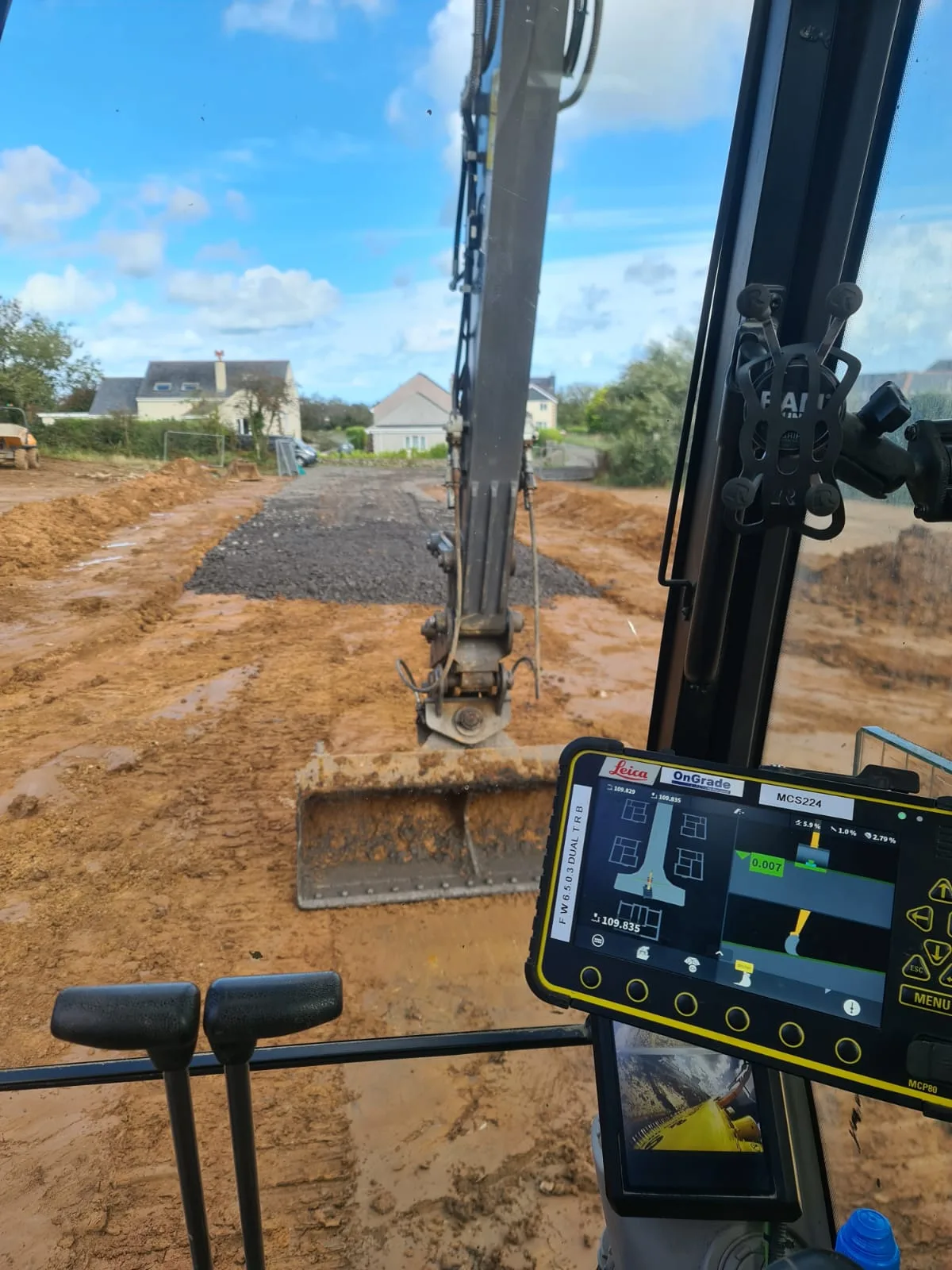
Machine control & DTM
3D models in your machine's format.
-

PAS 128 utility surveys
Buried services found, marked and mapped.
-
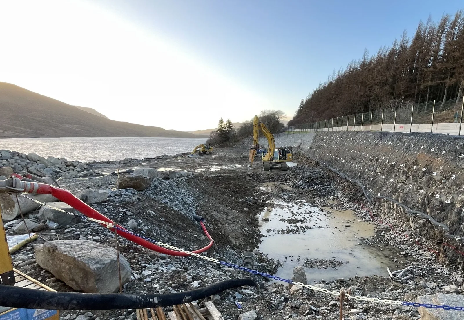
Volume & quantity surveys
Independent earthworks and stockpile quantities.
Is your site in our area?
If it's in North Wales or the North West, almost certainly. If it's just outside, ask anyway and we'll tell you straight away whether we can help.
Monday to Friday
Get a quote info@gorageo.co.ukAsk us for a quote and we'll get back to you as soon as we can.