
Land & Topographical Surveys
Land & Topographical Surveys in North Wales
Our land and topographical surveys provide accurate, detailed site data to support planning, design and construction across North Wales and the North West of England. With over 40 years of combined experience, we deliver reliable surveying outputs that give engineers, architects and developers complete confidence in their designs.
Whether you’re planning a new build, infrastructure works, extensions, roads, utilities or environmental projects, we tailor every survey to your site and deliverables.
What Is a Topographical Survey?
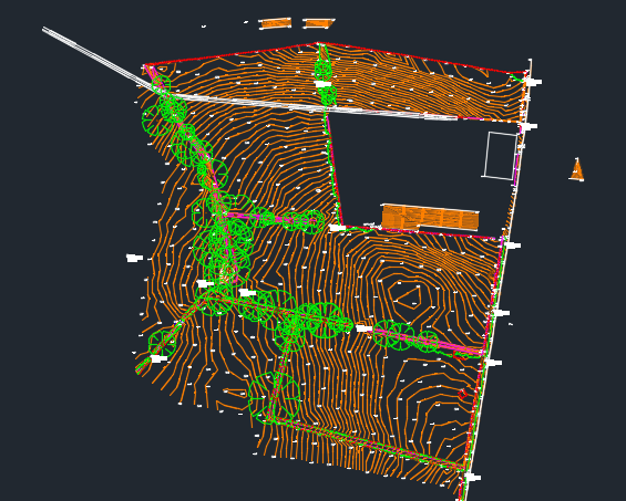
A topographical (topo) survey maps the features, levels and physical characteristics of a site. This includes natural and man-made features, boundaries, buildings, utilities, drainage, access points and any structures that impact design.
We produce clear, accurate drawings in CAD, PDF or 3D formats so your project team can plan with certainty.
What We Survey
Our topographical and land surveys typically include:
Site levels (grid, spot levels, contours)
Buildings, walls and structures
Kerbs, fences, gates and boundaries
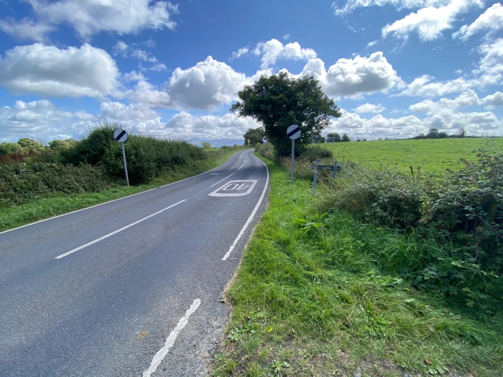
Roads, footpaths and access points
Vegetation, tree positions & canopies
Watercourses, rivers, embankments
Drainage covers, chambers & inverts
Visible above-ground utilities
Ground features such as slopes & embankments
All surveys are fully geo-referenced to national grid or local site control depending on requirements.
Survey Methods We Use
We use the latest surveying technology to ensure accuracy and efficiency:
GNSS / GPS Equipment
Ideal for open sites, setting control grids and capturing large areas quickly.
Robotic Total Stations
High-precision measurements for tighter, detailed surveys and built-up areas.
3D Laser Scanning (Where Required)
Perfect for complex structures, buildings or areas requiring dense data.
Drone Photogrammetry / UAV (Optional)
Large-area coverage for cut/fill, stockpiles, quarries and earthworks.
Deliverables You Receive
We provide professional survey outputs for designers, planners and engineers:
2D CAD drawings (DWG/DXF)
3D surface models
Digital Terrain Models (DTM)
Contour maps
PDF drawings
Site control reports
Coordinate schedules
BIM-ready datasets
Everything is delivered clean, accurate and ready for immediate use.
When You Need a Topographical Survey
Topographical surveys are essential for:
Planning applications
Architectural design
Site feasibility assessments
Civil engineering design
Extensions & new builds
Highways & drainage design
Earthworks modelling
Environmental & flood analysis
If your project needs accurate site levels or details — you need a topo survey.
All Services
Land & Topographical Surveys
Accurate site surveys providing detailed level and feature data to support planning, design and construction.
Machine Control & Digital Terrain Modelling
3D terrain models and machine control data to improve accuracy, efficiency and productivity on site.
Site Setting Out
Precise engineering setting out to ensure construction works are built exactly to design.
PAS 128 Utility Surveys & GPR
Underground utility detection surveys to reduce risk and support safe excavation and design.
Volume & Quantity Surveys
Reliable earthworks volume calculations for cost control, planning and progress tracking.
Get a Quote
If you need reliable surveying or engineering support for your project, get in touch with our team today.
We provide clear advice, accurate data and fast turnaround across North Wales and the North West of England.